
Container Tracking
Checking credits…
Follow your shipment using its container number.
Follow your shipment using its container number.
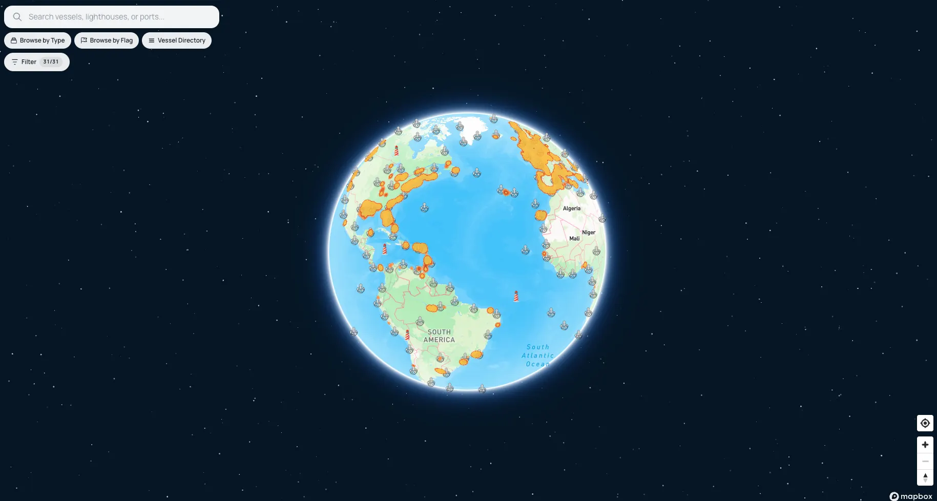
The map above shows live AIS positions for 112,000+ ships across every ocean — cargo and container ships, tankers, ferries, fishing vessels, yachts and naval traffic — alongside 20,559 ports and 14,900+ lighthouses.
How fresh is the data? AIS transponders broadcast position, course, and speed at intervals from every 2 seconds (fast-moving ships) to every 3 minutes (vessels at anchor). Near the coast, terrestrial receivers pick these up within seconds; far offshore, satellite passes relay them within minutes to tens of minutes. The map refreshes positions continuously as new broadcasts arrive.
Looking for a class of vessel rather than one ship? Browse the fleet by category: tankers, cargo & container ships, cruise & passenger ships, fishing vessels, yachts, and all eight AIS categories. Or explore by flag state to see every ship registered under a given country.
The vessels directory lists every tracked ship with search by name, MMSI, and IMO. The ports directory covers 20,559 ports with arrivals, departures, and harbor particulars, and the lighthouses directory documents 14,900+ lights with characteristics and ranges.
Search by vessel name, MMSI or IMO number. MMSI is a nine-digit identifier assigned to the radio station; IMO is a seven-digit number that stays with the hull for its whole life, even through renaming and reflagging.
AIS is line-of-sight to a receiver. A ship beyond terrestrial antenna range, with its transponder switched off, or in an area with sparse receiver coverage will not show a live position until it is picked up again.
Each vessel page states the time of its own last AIS fix. Vessels near busy coastlines update frequently; those mid-ocean can go hours between reports, which is why the fix time is shown rather than implied.