CAPE TOWN HIGHWAY
OtherPAUnder way using engineIMO 9565558MMSI 372031000
Latitude / Longitude
26° 58.801' N
51° 1.080' E
Updated 22 hours ago using terrestrial data
Live Satellite · every 5 min
Want satellite AIS data?
Download the app for real-time global coverage.
Get App
Under way using engine
Current Navigational Status
19.4 kn
Speed
77.0°
/ 75°
Course / Heading
8.9 m
Static Draught
7.9 m
Current Draught
ATD
Mar 5, 2026, 16:54 UTC
ETA
Apr 19, 2026, 01:00 UTC
From
DAMMAM
To
SINGAPORE
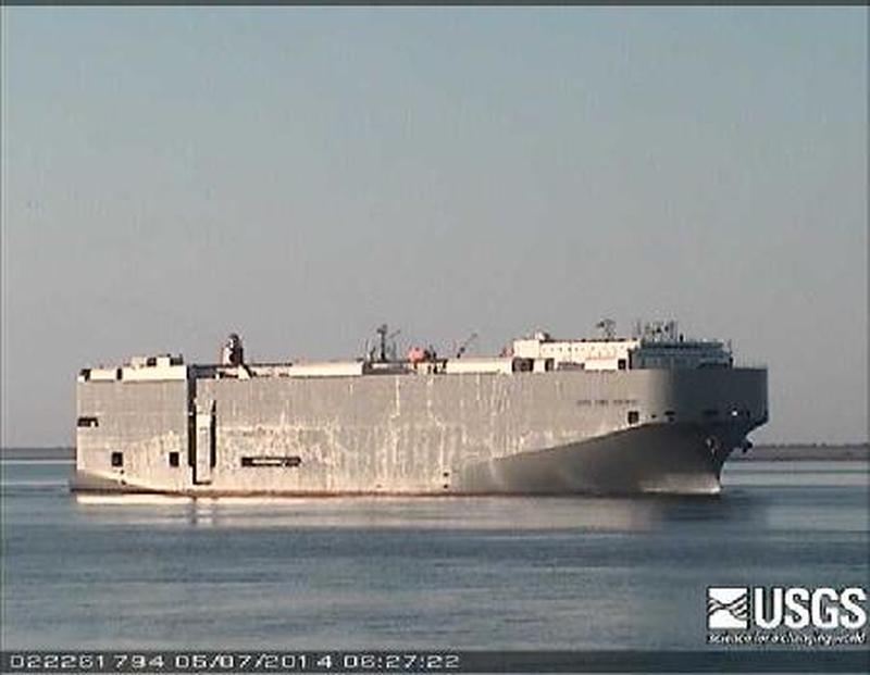
CAPE TOWN HIGHWAY
Identity
Other
Type
Flag
9565558
IMO Number
372031000
MMSI
3FOK4
Call Sign
Specifications
200 m × 32 m
Length × Breadth
2011-01-01
Year Built
21,676 t
Deadweight
58,535 t
Gross Tonnage
13,200 kW
Engine Power
COSCO NANTONG SHIPYARD - NANTONG, CHINA
Builder
NIPPON KAIJI KYOKAI (NKK)
Class Society