SMALAND
CargoPTUnder way using engineIMO 9277321MMSI 255806290
Latitude / Longitude
43° 50.479' N
7° 27.318' W
Updated 7 days ago using terrestrial data
Live Satellite · every 5 min
Need more up-to-date positions?
This page shows terrestrial AIS. Download the app for live satellite tracking, refreshed every 5 minutes worldwide.
Get App
Under way using engine
Current Navigational Status
11.3 kn
Speed
90.7°
/ 91°
Course / Heading
7.1 m
Static Draught
4.7 m
Current Draught
ATD
Apr 13, 2026, 16:56 UTC
ETA
Apr 26, 2026, 15:00 UTC
From
AVILES
To
EL FERROL
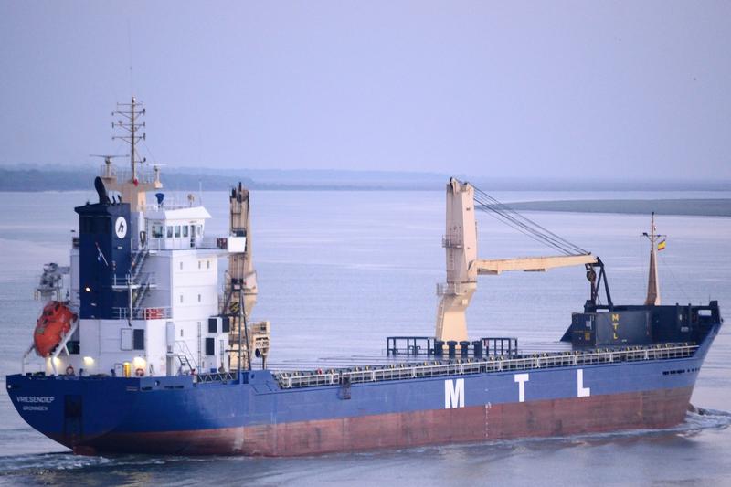
SMALAND
Identity
Cargo
Type
Flag
9277321
IMO Number
255806290
MMSI
CQAV8
Call Sign
Specifications
119 m × 15 m
Length × Breadth
2004-01-01
Year Built
7,707 t
Deadweight
5,057 t
Gross Tonnage
3,840 kW
Engine Power
ZALIV SHIPYARD - KERCH, UKRAINE
Builder
GERMANISCHER LLOYD
Class Society
Similar Vessels
Nearby vessels of the same type
SMALAND — Key Facts
- MMSI
- 255806290
- IMO number
- 9277321
- Call sign
- CQAV8
- Vessel type
- Cargo
- Flag state
- PT
- Navigation status
- Under way using engine
- Current speed
- 11.3 knots
- Course over ground
- 90.7°
- Heading
- 91°
- Last known position
- 43.8413°, -7.4553°
- Destination
- EL FERROL
- ETA
- 2026-04-26T15:00:00Z
- Departure port
- AVILES
- Actual time of departure
- 2026-04-13T16:56:00Z
- Current draught
- 4.7 m
- Maximum static draught
- 7.1 m
- Year built
- 2004-01-01
- Gross tonnage
- 5057
- Dead weight
- 7707 t
- AIS last updated
- 2026-04-26T08:47:51Z