LIBERTAS H
Cargo - Hazard X (Major)PTUnder way using engineIMO 9388388MMSI 255805480
Latitude / Longitude
21° 43.401' N
38° 42.491' E
Updated 20 hours ago using terrestrial data
Live Satellite · every 5 min
Need more up-to-date positions?
This page shows terrestrial AIS. Download the app for live satellite tracking, refreshed every 5 minutes worldwide.
Get App
Under way using engine
Current Navigational Status
12.8 kn
Speed
322.0°
/ 324°
Course / Heading
7.6 m
Static Draught
6.2 m
Current Draught
ATD
Apr 9, 2026, 00:06 UTC
ETA
May 7, 2026, 04:59 UTC
From
ALGER
To
GENOVA
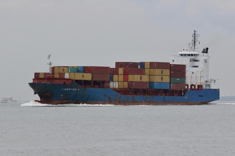
LIBERTAS H
Identity
Cargo - Hazard X (Major)
Type
Flag
9388388
IMO Number
255805480
MMSI
CQJB
Call Sign
Specifications
128 m × 20 m
Length × Breadth
2007-01-01
Year Built
8,716 t
Deadweight
7,532 t
Gross Tonnage
7,200 kW
Engine Power
CASSENS WERFT GMBH - EMDEN (DEU). YARD NO. 250
Builder
GERMANISCHER LLOYD
Class Society
Live tracking · 50,000+ mariners
Track LIBERTAS H live on MarineRadar
Real-time AIS positions, voyage history, and arrival alerts for LIBERTAS H — straight from your phone.
Live AIS positionsVoyage historyArrival alerts
Get the AppiOS · Android
4.8 ★ · 3,200 reviews on the App Store.
LIBERTAS H — Key Facts
- MMSI
- 255805480
- IMO number
- 9388388
- Call sign
- CQJB
- Vessel type
- Cargo - Hazard X (Major)
- Flag state
- PT
- Navigation status
- Under way using engine
- Current speed
- 12.8 knots
- Course over ground
- 322.0°
- Heading
- 324°
- Last known position
- 21.7234°, 38.7082°
- Destination
- GENOVA
- ETA
- 2026-05-07T04:59:00Z
- Departure port
- ALGER
- Actual time of departure
- 2026-04-09T00:06:00Z
- Current draught
- 6.2 m
- Maximum static draught
- 7.6 m
- Year built
- 2007-01-01
- Gross tonnage
- 7532
- Dead weight
- 8716 t
- AIS last updated
- 2026-05-08T18:33:00Z