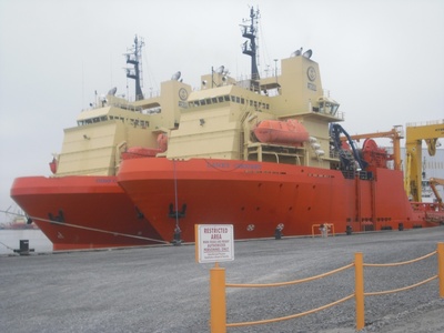
LANEY CHOUEST
OtherUSMooredIMO 9271690MMSI 368284000
Latitude / Longitude
22° 13.565' S
40° 19.128' W
Updated 1 day ago using terrestrial data
Live Satellite · every 5 min
Need more up-to-date positions?
This page shows terrestrial AIS. Download the app for live satellite tracking, refreshed every 5 minutes worldwide.
Get App
Moored
Current Navigational Status
2.2 kn
Speed
331.0°
/ 339°
Course / Heading
7.9 m
Static Draught
7.9 m
Current Draught
ATD
Apr 4, 2026, 20:01 UTC
ETA
Apr 22, 2026, 18:03 UTC
From
PORTO DO ACU
To
PORTO DO ACU
Voyage Tracker
ATD20:01 UTCApr 4, 2026
Apr 22, 202618:03 UTCETA
LANEY CHOUEST
Identity
Other
Type
Flag
9271690
IMO Number
368284000
MMSI
WDN5472
Call Sign
Specifications
105 m × 22 m
Length × Breadth
2003-01-01
Year Built
5,713 t
Deadweight
5,922 t
Gross Tonnage
N/A
Engine Power
NORTH AMERICAN SHIPBUILDING - LAROSE LA, U.S.A.
Builder
AMERICAN BUREAU OF SHIPPING
Class Society
Similar Vessels
LANEY CHOUEST — Key Facts
- MMSI
- 368284000
- IMO number
- 9271690
- Call sign
- WDN5472
- Vessel type
- Other
- Flag state
- US
- Navigation status
- Moored
- Current speed
- 2.2 knots
- Course over ground
- 331.0°
- Heading
- 339°
- Last known position
- -22.2261°, -40.3188°
- Destination
- PORTO DO ACU
- ETA
- 2026-04-22T18:03:00Z
- Departure port
- PORTO DO ACU
- Actual time of departure
- 2026-04-04T20:01:00Z
- Current draught
- 7.9 m
- Maximum static draught
- 7.9 m
- Year built
- 2003-01-01
- Gross tonnage
- 5922
- Dead weight
- 5713 t
- AIS last updated
- 2026-04-24T18:15:00Z