CHOPI CHOPI
Pleasure CraftKYUnder way using engineIMO 1011343MMSI 319318000
Latitude / Longitude
17° 37.360' N
60° 18.682' W
Updated 3 days ago using terrestrial data
Live Satellite · every 5 min
Need more up-to-date positions?
This page shows terrestrial AIS. Download the app for live satellite tracking, refreshed every 5 minutes worldwide.
Get App
Under way using engine
Current Navigational Status
11.3 kn
Speed
64.0°
/ 70°
Course / Heading
3.6 m
Static Draught
3.6 m
Current Draught
ATD
Apr 10, 2026, 06:29 UTC
ETA
May 1, 2026, 12:30 UTC
From
BARBUDA
To
GUSTAVIA ANCH
Voyage Tracker
ATD06:29 UTCApr 10, 2026
May 1, 202612:30 UTCETA
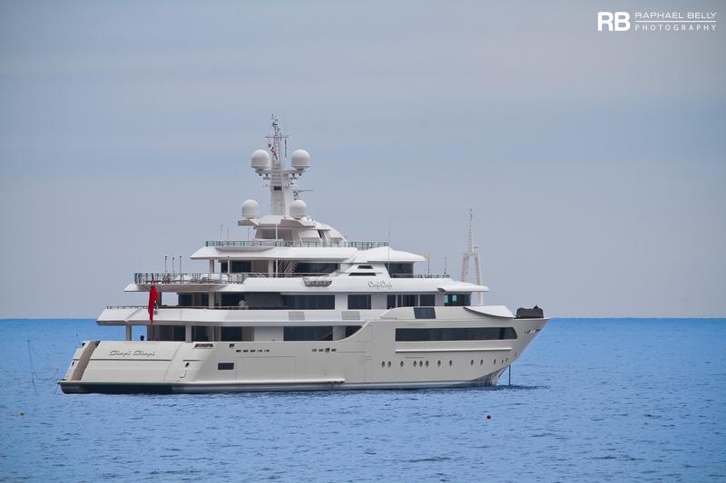
CHOPI CHOPI
Identity
Pleasure Craft
Type
Flag
1011343
IMO Number
319318000
MMSI
ZGDI7
Call Sign
Specifications
79 m × 14 m
Length × Breadth
2013-01-01
Year Built
374 t
Deadweight
2,363 t
Gross Tonnage
N/A
Engine Power
CRN - ANCONA, ITALY
Builder
LLOYD'S SHIPPING REGISTER
Class Society
Live tracking · 50,000+ mariners
Track CHOPI CHOPI live on MarineRadar
Real-time AIS positions, voyage history, and arrival alerts for CHOPI CHOPI — straight from your phone.
Live AIS positionsVoyage historyArrival alerts
Get the AppiOS · Android
4.8 ★ · 3,200 reviews on the App Store.
CHOPI CHOPI — Key Facts
- MMSI
- 319318000
- IMO number
- 1011343
- Call sign
- ZGDI7
- Vessel type
- Pleasure Craft
- Flag state
- KY
- Navigation status
- Under way using engine
- Current speed
- 11.3 knots
- Course over ground
- 64.0°
- Heading
- 70°
- Last known position
- 17.6227°, -60.3114°
- Destination
- GUSTAVIA ANCH
- ETA
- 2026-05-01T12:30:00Z
- Departure port
- BARBUDA
- Actual time of departure
- 2026-04-10T06:29:00Z
- Current draught
- 3.6 m
- Maximum static draught
- 3.6 m
- Year built
- 2013-01-01
- Gross tonnage
- 2363
- Dead weight
- 374 t
- AIS last updated
- 2026-05-05T02:58:00Z