IEVOLI IVORY
OtherITRestricted maneuverabilityIMO 9703368MMSI 247356400
Latitude / Longitude
49° 29.354' N
0° 33.058' W
Updated 828 days ago using terrestrial data
Live Satellite · every 5 min
Need more up-to-date positions?
This page shows terrestrial AIS. Download the app for live satellite tracking, refreshed every 5 minutes worldwide.
Get App
Restricted maneuverability
Current Navigational Status
0.0 kn
Speed
50.4°
/ 290°
Course / Heading
5.7 m
Static Draught
5.7 m
Current Draught
ATD
Apr 10, 2026, 15:34 UTC
ETA
May 5, 2026, 12:00 UTC
From
CHERBOURG
To
CHERBOURG
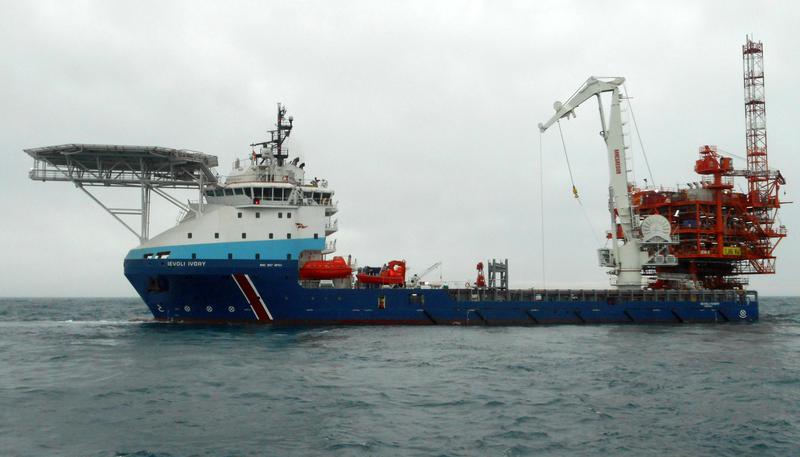
IEVOLI IVORY
Identity
Other
Type
Flag
9703368
IMO Number
247356400
MMSI
IBKP
Call Sign
Specifications
90 m × 19 m
Length × Breadth
2015-01-01
Year Built
3,600 t
Deadweight
4,499 t
Gross Tonnage
9,068 kW
Engine Power
SELAH SHIPYARD - ISTANBUL, TURKEY
Builder
AMERICAN BUREAU OF SHIPPING
Class Society
Live tracking · 50,000+ mariners
Track IEVOLI IVORY live on MarineRadar
Real-time AIS positions, voyage history, and arrival alerts for IEVOLI IVORY — straight from your phone.
Live AIS positionsVoyage historyArrival alerts
Get the AppiOS · Android
4.8 ★ · 3,200 reviews on the App Store.
IEVOLI IVORY — Key Facts
- MMSI
- 247356400
- IMO number
- 9703368
- Call sign
- IBKP
- Vessel type
- Other
- Flag state
- IT
- Navigation status
- Restricted maneuverability
- Current speed
- 0.0 knots
- Course over ground
- 50.4°
- Heading
- 290°
- Last known position
- 49.4892°, -0.5510°
- Destination
- CHERBOURG
- ETA
- 2026-05-05T12:00:00Z
- Departure port
- CHERBOURG
- Actual time of departure
- 2026-04-10T15:34:00Z
- Current draught
- 5.7 m
- Maximum static draught
- 5.7 m
- Year built
- 2015-01-01
- Gross tonnage
- 4499
- Dead weight
- 3600 t
- AIS last updated
- 2024-01-30T15:55:25Z