
Track HOPETOUN live on MarineRadar
Real-time AIS positions, voyage history, and arrival alerts for HOPETOUN — straight from your phone.
Similar Vessels
Nearby vessels of the same type
Explore related maritime data
Dive into the fleet, port, and flag state that HOPETOUN is part of.
About HOPETOUN
Identity · Ownership · Class · Route
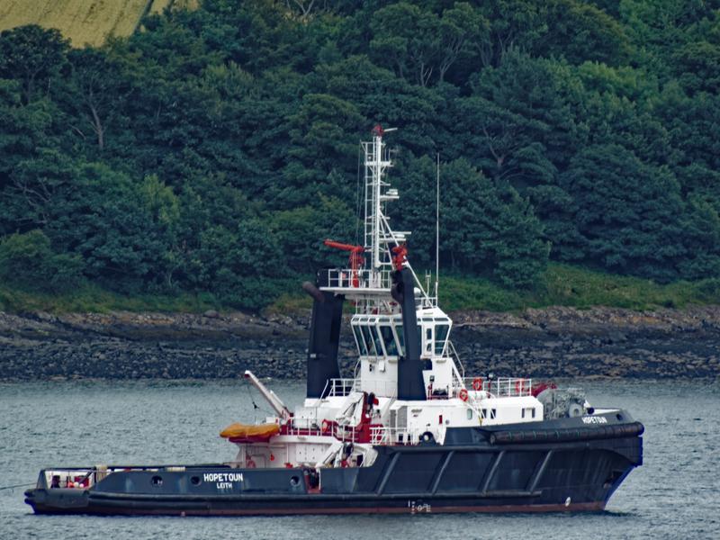
HOPETOUN — Tug
HOPETOUN is a tug registered under the United Kingdom flag.
HOPETOUN route and voyage history
The most recent AIS broadcast from HOPETOUN is shown on the live map above. The live route and current course of HOPETOUN are shown on the bridge map above, updated whenever the vessel is in range of a coastal AIS receiver or a satellite pass. View HOPETOUN's full route replay to see voyage history, course changes, and port-by-port movement.
Vessel class and identifiers
Vessels in the same class as HOPETOUN can be seen in the Similar Vessels section above or in the full tug fleet at /vessel-type/tug-pilot-vessel.
- MMSI:
232002720 - IMO:
9140865 - Vessel type: Tug
- Flag state: United Kingdom