MAERSK LAMANAI
Military OpsDKAt anchorIMO 9527051MMSI 219527000
Latitude / Longitude
26° 7.200' S
48° 22.972' W
Updated 834 days ago using terrestrial data
Live Satellite · every 5 min
Need more up-to-date positions?
This page shows terrestrial AIS. Download the app for live satellite tracking, refreshed every 5 minutes worldwide.
Get App
At anchor
Current Navigational Status
0.1 kn
Speed
129.3°
/ 148°
Course / Heading
13.6 m
Static Draught
10.5 m
Current Draught
ATD
Apr 11, 2026, 00:50 UTC
ETA
Apr 13, 2026, 15:15 UTC
From
SANTOS
To
ITAPOA
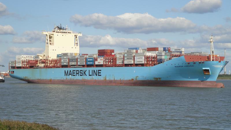
MAERSK LAMANAI
Identity
Military Ops
Type
Flag
9527051
IMO Number
219527000
MMSI
OZJN2
Call Sign
Specifications
300 m × 45 m
Length × Breadth
2013-01-01
Year Built
99,866 t
Deadweight
89,505 t
Gross Tonnage
38,880 kW
Engine Power
DAEWOO SHIPBUILDING & MARINE ENGINEERING CO. LTD. - GEOJE, SOUTH KOREA
Builder
AMERICAN BUREAU OF SHIPPING
Class Society
Live tracking · 50,000+ mariners
Track MAERSK LAMANAI live on MarineRadar
Real-time AIS positions, voyage history, and arrival alerts for MAERSK LAMANAI — straight from your phone.
Live AIS positionsVoyage historyArrival alerts
Get the AppiOS · Android
4.8 ★ · 3,200 reviews on the App Store.
MAERSK LAMANAI — Key Facts
- MMSI
- 219527000
- IMO number
- 9527051
- Call sign
- OZJN2
- Vessel type
- Military Ops
- Flag state
- DK
- Navigation status
- At anchor
- Current speed
- 0.1 knots
- Course over ground
- 129.3°
- Heading
- 148°
- Last known position
- -26.1200°, -48.3829°
- Destination
- ITAPOA
- ETA
- 2026-04-13T15:15:00Z
- Departure port
- SANTOS
- Actual time of departure
- 2026-04-11T00:50:00Z
- Current draught
- 10.5 m
- Maximum static draught
- 13.6 m
- Year built
- 2013-01-01
- Gross tonnage
- 89505
- Dead weight
- 99866 t
- AIS last updated
- 2024-01-22T09:50:48Z