
Track ALESSANDRA M live on MarineRadar
Real-time AIS positions, voyage history, and arrival alerts for ALESSANDRA M — straight from your phone.
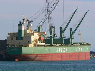
Similar Vessels
Nearby vessels of the same type
Explore related maritime data
Dive into the fleet, port, and flag state that ALESSANDRA M is part of.
About ALESSANDRA M
Identity · Ownership · Class · Route
ALESSANDRA M — Cargo
ALESSANDRA M is a cargo registered under the Malta flag.
ALESSANDRA M route and voyage history
The most recent AIS broadcast from ALESSANDRA M is shown on the live map above. The live route and current course of ALESSANDRA M are shown on the bridge map above, updated whenever the vessel is in range of a coastal AIS receiver or a satellite pass. View ALESSANDRA M's full route replay to see voyage history, course changes, and port-by-port movement.
Vessel class and identifiers
Vessels in the same class as ALESSANDRA M can be seen in the Similar Vessels section above or in the full cargo fleet at /vessel-type/cargo.