TAIHO MARU
CargoPAUnder way using engineIMO 9459591MMSI 356203000
Latitude / Longitude
2° 39.421' N
173° 21.406' E
Updated 4 days ago using terrestrial data
Live Satellite · every 5 min
Want satellite AIS data?
Download the app for real-time global coverage.
Get App
Under way using engine
Current Navigational Status
12.3 kn
Speed
86.0°
/ 94°
Course / Heading
5.9 m
Static Draught
5.3 m
Current Draught
ATD
Mar 10, 2026, 09:23 UTC
ETA
Mar 8, 2026, 22:56 UTC
From
KAOHSIUNG
To
MAJURO
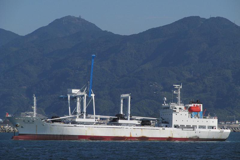
TAIHO MARU
Identity
Cargo
Type
Flag
9459591
IMO Number
356203000
MMSI
3FSL8
Call Sign
Specifications
98 m × 17 m
Length × Breadth
2008-01-01
Year Built
4,393 t
Deadweight
3,858 t
Gross Tonnage
N/A
Engine Power
TERAOKA SHIPYARD - MINAMIAWAJI, JAPAN
Builder
NIPPON KAIJI KYOKAI (NKK)
Class Society